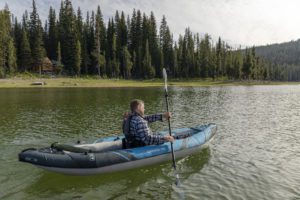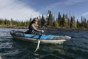
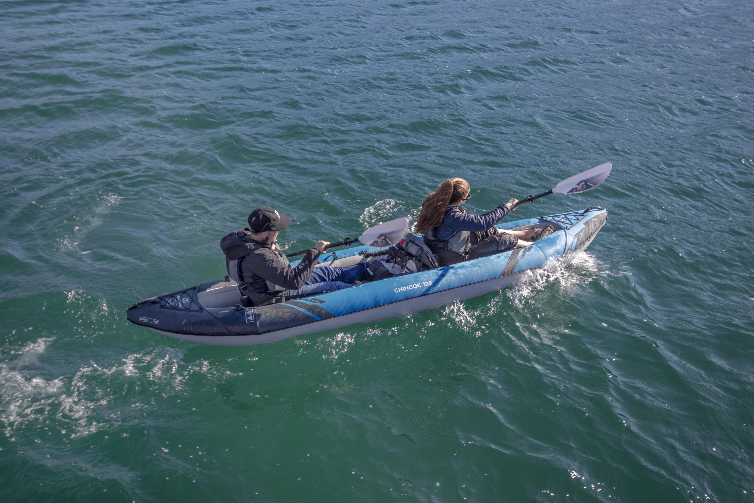
River maps: How they can keep you safe (and entertained) on your next paddle trip
You might be asking yourself, “what’s a river map”, and “why should I get one?” Maps of local waterways are usually available at local paddle shops, online, or at visitor centers. If a stretch of water is popular enough, the city might publish a map and have it readily available for floaters. Sometimes entire books are made dedicated to mapping out all the stretches of water in a municipality, region or state. Having a map of the stretch of water you want to navigate can be invaluable – and here’s why…
-1- Identifying Hazards
Maps focused on river and lake features will point out hazards and outline where rapids are. Types of hazards include dams or weirs, log jams, riverwide logs, house rocks, sieves and rapids too dangerous to navigate. For rapids, these maps will outline precisely where they are, rate them from I-IV, and give necessary beta for navigating them. Maps are also useful for planning on the river – looking at mileage and distance you can calculate how far you might be from an upstream hazard, and how soon you might come upon it.
-2- Portage
If you can identify river wide hazards from up-to-date maps, you can use the map to identify eddies up river of the hazard in order to portage or scout. If the water is moving swiftly, knowing what eddy you want to catch (on what side of the river) before the hazard is a helpful strategy for avoiding danger and possible capsize. The map may also indicate a developed portage route or trail – an on shore path around the hazard.
-3- Finding Camp
Many river and lake maps will indicate campsites. Sometimes from the water it can be difficult to tell where the campsites are. Having them plotted on the map helps you keep alert and looking as you travel downstream. While most river camping is as primitive as it gets, in more trafficked zones maps often supply details on the amenities of the site. Drop toilets, shade, picnic tables, flat spots for setting up tents and number of people the site can accommodate are some of the features indicated.
-4- Notes on natural history
Reading snippets and details of the ecology, geology, fora and fauna of the waterway you’re navigating can really add another dimension to your adventure. In particular, doing this from home in the evenings weeks before a trip help me start my expedition from the comfort of my own home. Excerpts can also include mining, trading, homesteading and Native American tidbits.
– 5- Help in an emergency
There are elements on a river map that you may not find useful until you are in an emergency. For example, if someone is bitten by a rattlesnake or a medical evacuation is necessary, you may need to find the closest town to access a phone or car – this is easy if you have a river map. Perhaps your vessel punctures, you don’t have a patch kit and you need to hike out – the map can show you the best route (railroad tracks, an old forest service road or hiking a trail along the river.)
There are unlimited uses and reasons to have a map of the section of water you are navigating. Get one if you can and keep the maps from all your excursions in a collection for future reference, and as a library for river friends to barrow from (in exchange for adult beverages).